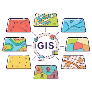
Geographic Information System
Contribution: Tifanny Laurenza
Geographic Information System (GIS) is a system with software that can analyze and display data using digitized maps to enhance planning and decision making. This system designed to capture, store, manipulate, analyze, manage, and present spatial or geographic data. GIS works by providing alternative options to the user such as the fastest route, free traffic route, and the farthest route. GIS also gives an option according to what vehicle we use, for example, travel time if using a motorbike will be different from walking.
The first known use of the term "geographic information system" was by Roger Tomlinson in the year 1968 in his paper "A Geographic Information System for Regional Planning". Tomlinson is also acknowledged as the "Father of GIS". In specific, GIS should all include the ability to digitize geographic features, connect geographic features to a database that has information about them, automatically measure the length and area of the geographic features in the database, allow you to see the database information about a feature by pointing to it on a map, find all the geographic features within a specified distance of a set of geographic features, and find the areas where any set of geographic features intersects with another set of geographic features. Not only just showing the map and making planning or decision. GIS has many functions such as:
- GIS Mapping: Mapping is the main function of GIS, GIS will provide visual data from the map. The mapping will be saved as a database and then represent it visually in a mapped format. Google map, Bing map, Yahoo map are the example for GIS mapping.
- Telecom and Network Service: GIS has a very important role in the world of telecommunications and networks. GIS which has functions for telecommunications networks is GDi GISDATA. GISDATA will provide geographic data that is very useful for planning, optimizing, and network maintenance.
- Urban Planning: GIS technology is also very useful in population growth because it can detect the population in an area. GIS is also useful for city development because it can show the quality of land in an area, and provide information about land should be more or less flat, land should be vacant or having low usage value presently and it should have a good supply of water.
- Disaster Management and Mitigation: GIS technology is also designed to protect the environment from disasters. GIS can help with risk management and analysis by displaying which areas are likely to be prone to natural or man-made disasters. When such disasters are identified, preventive measures can be developed.
But nowadays, actually we can see an example of using GIS on Google Maps, Google Earth and Waze. However, Google Maps are a few examples of GIS usage because Google Maps only provides results from map navigation, real-time traffic information, transit system schedules, etc. Based on your location, Google Maps can show you nearby restaurants, tourist attractions, and gas station so its consider as Geographic Information System. Google Maps is only a small example of GIS because for example, a GIS should let you be able to do something like finding all of the towns and nations that are within 9,000 miles of North Korea and then tell you what the total population of the towns are and what percent of each nation is in the 9,000-mile circle. And I don’t think Google Maps can do that.
So it can be concluded that GIS is very important in technology now. because this system can capture, storing, checking, and displaying data related to positions on Earth's surface. By relating seemingly unrelated data, GIS can help individuals and organizations better understand spatial patterns and relationships.
Sources:
- https://en.wikipedia.org/wiki/Geographic_information_system
- https://grindgis.com/blog/gis-applications-uses
- https://www.quora.com/Is-Google-Maps-considered-a-geographic-information-system#MoreAnswers
- https://www.nationalgeographic.org/encyclopedia/geographic-information-system-gis/
- http://integrasiautama.com/gis-geographic-information-system/


