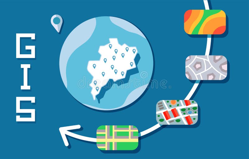
What is Geographic Information System??
Kontributor:
Syaifak Aviana
What is the GIS?
Geographic Information System (GIS) is a specialized information system that manages data that has spatial information (spatial reference) or GIS is a computer system that has the ability to build, store, manage and display geographic information, identified by location, in a database. The practitioners also include the person who builds and operates them and the data as part of this system.
The first implementation of GIS
The year 1967 was the beginning of a GIS development that could be implemented in Ottawa, Ontario by the Department of Energy, Mining and Resources. Developed by Roger Tomlinson, than called CGIS (Canadian GIS - GIS Canada), is used to store, analyze and process data collected for Canadian Land Inventory (CLI) - an initiative to identify land abilities in rural Canada with plotting various information on land, agriculture, tourism, outdoors, poultry and land use on a 1: 250000 scale.
CGIS is the first system in the world and results from improved mapping applications that have overlapping capability, counting, digitizing / scanning, supporting national coordinate systems that extend over the American continent. The developer, a geographer named Roger Tomlinson then called "Mr GIS".
Usefulness of GIS
Geographic Information System Technology (GIS) can be used for scientific investigation, resource management, development planning, cartography and route planning. For example, GIS can help planners to quickly calculate emergency response times during natural disasters, or GIS can be used to find wetlands that require pollution protection.
Benefits of GIS
1. Land use management
Land use and use is part of a geographical study that needs to be done with consideration in many ways. The objective is to determine the land zonification in accordance with the characteristics of the existing land. For example, areas of land use in cities are usually divided into residential, industrial, commercial, office, public and green areas.
GIS can help the planning of each region and the results can be used as a reference for the construction of the necessary utilities. The location of utilities to be built in urban areas needs to be considered to be effective and does not violate certain criteria that may cause dissonance.
For example, construction of waste bins. The criteria include: outside the residential area, within a radius of 10 meters from a puddle, within 5 meters of the highway, and so on.
With GIS capabilities that can determine what is outside and within an area, these criteria will be combined so as to create irregular, somewhat appropriate, and irregularly sloped area slices that fit all criteria.
In rural areas (rural) land use management is more directed to the agricultural sector. With the mapping of rainfall, climate, condition, altitude, and natural conditions, will help determine the location of plants, fertilizers used, and how the process of land processing. Development of irrigation channels to be evenly distributed and at least the cost can be assisted with maps of rice fields, residential maps, altitude of each place and map of soil conditions. Determination of warehouse location and marketing of agricultural products can be helped by utilizing food production map, consumer distribution, and transportation network map.
In addition to land use management, GIS can also assist in terms of spatial planning. The goal is to determine the pattern of space utilization adapted to existing physical and social conditions, so that more effective and efficient. For example urban spatial arrangement, rural, settlement, industrial area, and others.
2. Inventory of natural resources
The benefits of GIS in natural resource wealth data are as follows:
· To know the distribution of various natural resources, such as petroleum, coal, gold, iron and other mining goods.
· To know the distribution of land area, for example:
- Potential land and critical land area
- Impact forests and degraded forests
- Area of agricultural land and plantation
- Utilization of land use change
- Rehabilitation and conservation of land
3. For the supervision of the disaster area
GIS capability for natural disaster area supervision, for example:
· Monitor the area of natural disasters
· Prevention of future natural disasters
· Arranging disaster area rebuilding plans
· Determination of erosion hazard
· Prediction of flood height
· Predicted drought rate.
4. For regional and city planning
· For resource areas, such as the suitability of residential land, agriculture, plantation, land use, mining and energy, analysis of disaster prone areas.
· For spatial planning, such as spatial planning, industrial estate planning, markets, settlement areas, system arrangement and defense status.
· For areas of management or infrastructure of a region, such as management of water supply network information system, planning and expansion of power grid.
· For tourism, such as tourism inventory and analysis of tourism potential of a region.
· For transportation, such as public transport network inventory, suitability of alternative routes, expansion plan of road network system, congestion prone area analysis and accidents.
5. For social and cultural fields
· know the extent and distribution of the population of a region
· knowing the extent and spread of agricultural land and possible drainage patterns
· data collection and development of growth and development centers in a region
· data collection and development of human settlements, industrial estates, schools, hospitals, entertainment facilities and offices.